Stonex Reconstructor
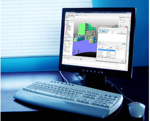
To make more effective the use of the x300, Stonex, has developed a powerful and flexible software called Stonex Reconstructor.
The Stonex Reconstructor software is based on the well known JRC 3D Reconstructor ® technology. JRC 3D Reconstructor® is a software package worldwide appreciated for 3D laser scanner data processing in several application fields.
The software – engineered and powered by Gexcel srl, under Stonex requirements – comes from the convergence of two experiences: the academic know-how of University studies and the applied research achievements of the European Joint Research Centre (JRC), located in Ispra (Italy). The software aim is to turn the latest scientific achievements in the Geomatics field into an hi-tech software for wide application areas. Thanks to the high knowledge, the software solutions developed in collaboration with Gexcel are able to satisfy different customer’s requirements, from the construction and infrastructure application, until cultural heritage, architectural and mining / tunneling surveys. Stonex and Gexcel engineers have been working together to take advantage of the qualities of the X300 Stonex laser scanner. The basic software provided is the survey module, which is bundled with the X300. Other plug in are provided for specific functions such as construction and mining.
- Survey module
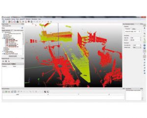
The fitting solution to capture, process and analyze 3D data of artefacts acquired with X300 scanner. Elevation, plans, and cross sections, can be extracted. Colored mesh models can be created and fly-through videos recorded.
- Construction module
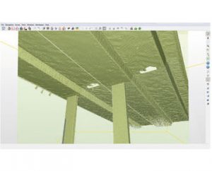
Specifically designed for construction and civil engineering sector the Construction package offer offers user friendly software solution to easily extract from 3D models to CAD features. It provides deformation and displacement maps, calculation of areas and volumes.. Perfect for geo-referencing both in using large format East-North cartographic coordinates systems (i.e. UTM WGS84) and in accordance with external points or targets measured with total station or GNSS.
- Mining module
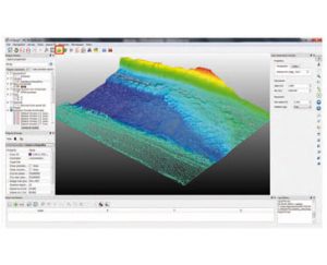
Specifically designed for open pit mine, landfill and in general landscape topographical application, the Mining package offers a user friendly software solution for infrastructures and land surveys, mines, landfills, excavations and support to geological analysis and monitoring.
