eBee Plus
eBee Plus Aerial efficiency, photogrammetric accuracy.
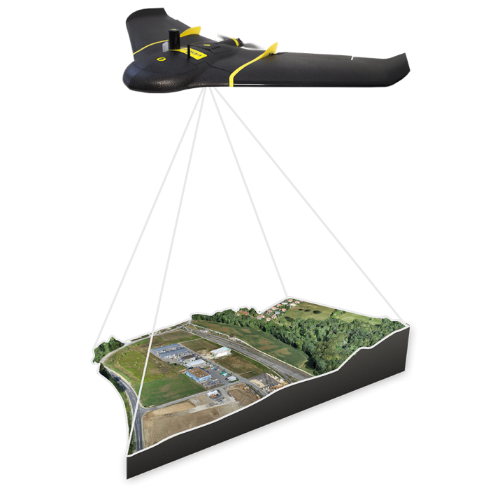
A large coverage photogrammetric mapping system featuring RTK/PPK upgradeability for survey-grade accuracy on demand.
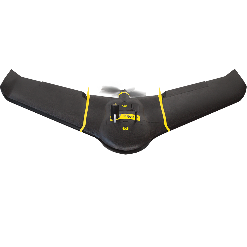
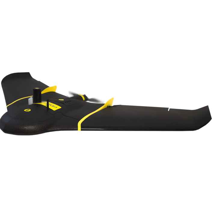
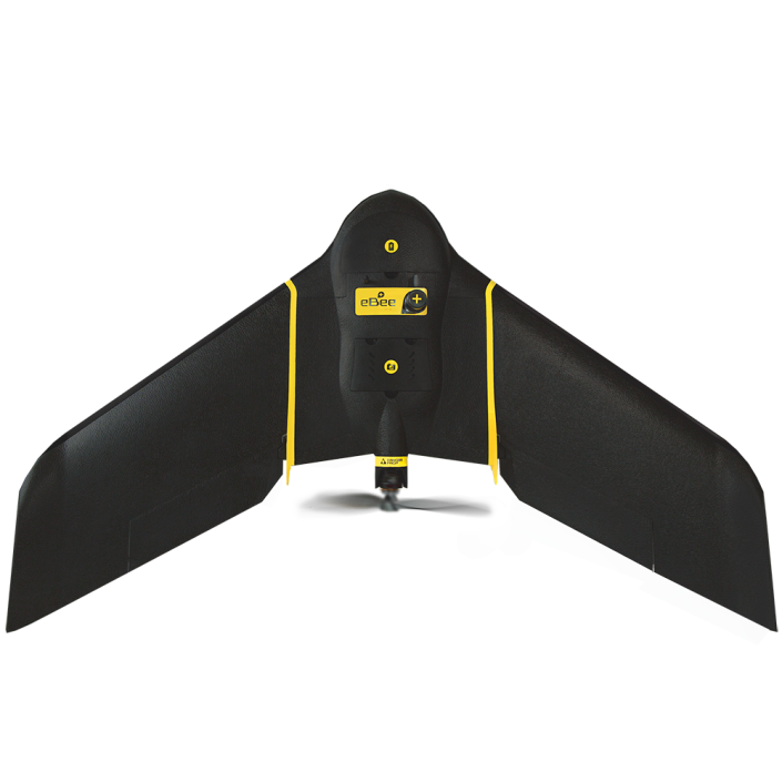
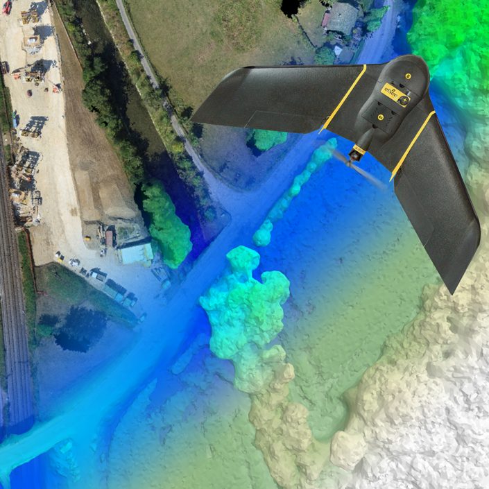
The lightweight, hand-launched eBee Plus is a seriously efficient data collection tool.
Its flight time of 59 minutes is a figure you can rely on: whichever camera you fly, at virtually any altitude and in varying wind conditions. The result is less time spent flight planning and swapping batteries, and more time collecting exactly the geospatial data you need.
The eBee Plus in a uniquely flexible tool. It is available with multiple camera payloads, so you need only invest in the configuration that suits your business’ needs.
- A sensor for every application:
- Professional-grade RGB: surveying/geospatial
- Thermal infrared: photovoltaic/rescue/environmental
- Multispectral: agriculture/forestry/conservation
- Supplied with senseFly S.O.D.A. (Sensor Optimised for Drone Applications)
- Backwards-compatible with existing eBee sensors* (upgrade to eBee Plus to extend ground coverage while minimising your sensor costs)
The eBee Plus features High Precision on Demand (HPoD) thanks to its built-in RTK/PPK functionality. You can activate this whenever it suits your business—right out of the box, or later. It‘s survey-grade accuracy you control, without the need for ground control points—for less time in the field and more time putting your data to work.
- On-demand survey-grade outputs—without ground control points
- Absolute orthomosaic & digital surface model accuracy of down to 3 cm (1.2 in)
- Achievable across virtually every site
- Employ your existing reference station & GNSS knowledge
